Treasures from the Yana & Marty Davis Map Collection
Treasures from the Yana & Marty Davis Map Collection
Located downstairs in the Museum of the Big Bend.
The Museum of the Big Bend lost a long-time friend, supporter and donor when Marty Davis passed away on December 7, 2019. As one of those “larger-than-life” Texas personalities, Marty’s laughter was unmistakable as it filled the rooms at the museum. Second only to his wife Yana, Marty loved historical maps and the stories they could tell. Marty once described vintage maps as “a form of time travel, a combination of art, science and history that lets the present-day viewer reach out and touch the past.” Marty graciously donated his map collection to the Museum of the Big Bend and this little 7-map exhibit features some of his all-time favorites. Marty firmly believed that, in order to be truly appreciated, a map needed to be viewed in person and so, for this “Treasures” exhibit, each map on display includes a descriptive narrative which will give the viewer a hint of what interested Marty the most about that particular one.

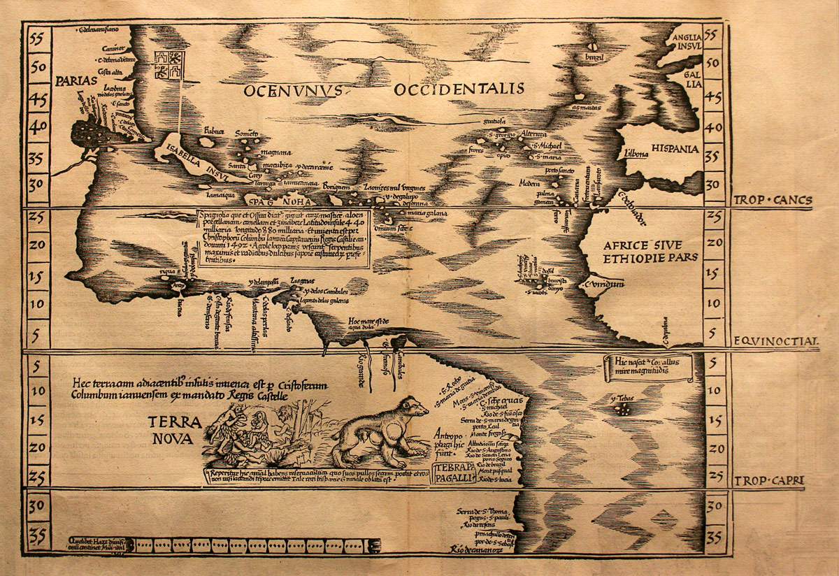
The 1524 TERRA NOVA map by Martin Waldseemuller, the oldest map in the Yana and Marty Davis Map Collection.

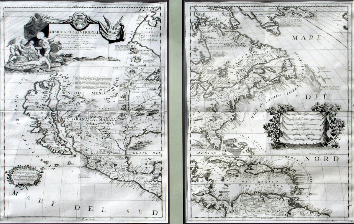
The 1688 AMERICA SETTENTRIONALE map, made for King Louis XIV of France by Vincenzo Coronelli, showing the “island” of California.

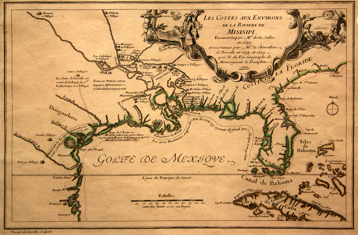
A 1701 map by French cartographer Nicolas de Fer depicting, in the cartouche, the murder of explorer La Salle on Texas soil in 1687.

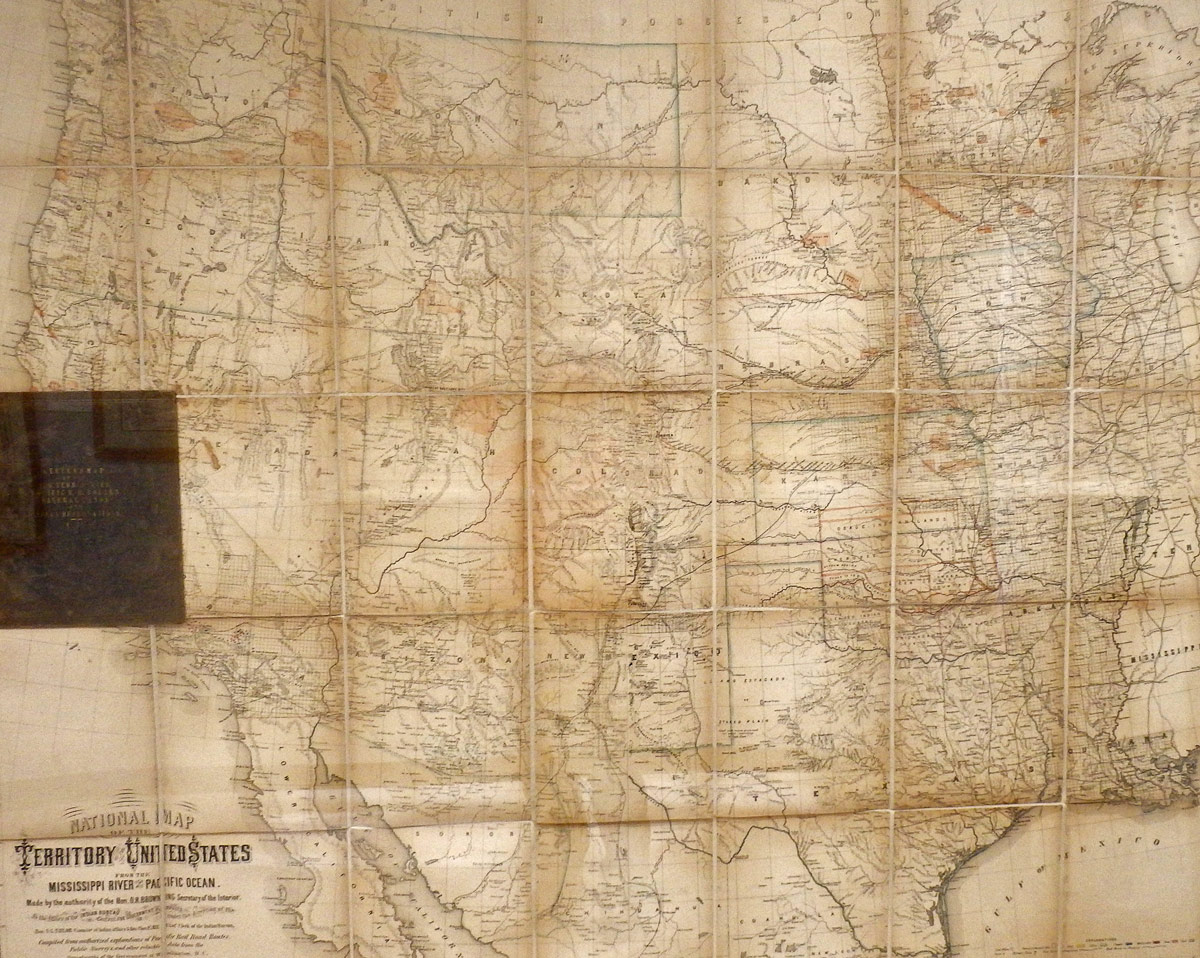
The massive 1867 map of the United States by William Keeler, described as “the largest, finest and most detailed map of the American West as it was then known.”
